Mapbox
The following table describes the tools in the Mapbox section of the Create tab.
| Tool | Description |
| Dynamic Map | Creates a Mapbox image in the coordinate system of your choice. |
Dynamic Map
Dynamic Map is used to create a new dynamic image object. These are variable level-of-detail images such that more detail is displayed when zooming in on the image, similar to the way various online map services such as Google Maps or Bing Maps work.
The Dynamic Map menu uses the Mapbox (www.mapbox.com) mapping service to create the maps and therefore an internet connection is required both to use this option and to view images created by this option.
Dynamic images can be created with different coordinate systems to match the coordinate system being used. Since some coordinate systems can become extremely distorted far from their local area of interest, the Dynamic Map option can limit the area of the map to just the local area of interest.
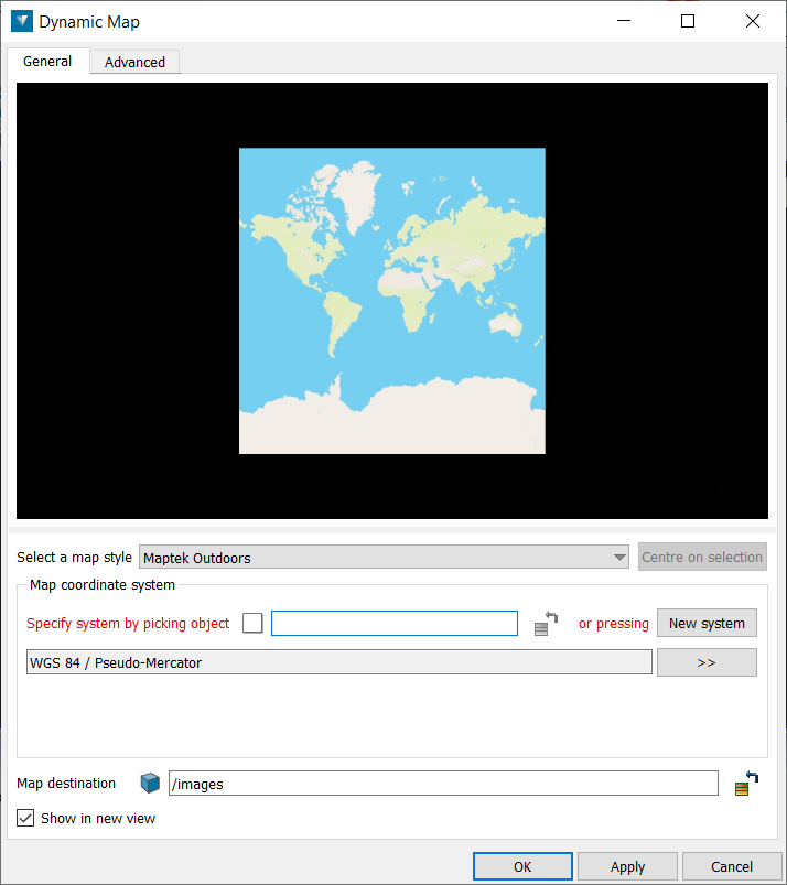
The General tab on the Dynamic Map panel contains a 2D preview on the image to be generated. This preview is also used to define the extent of the image.
For example, pressing Apply, when the panel first appears as above, creates an image.
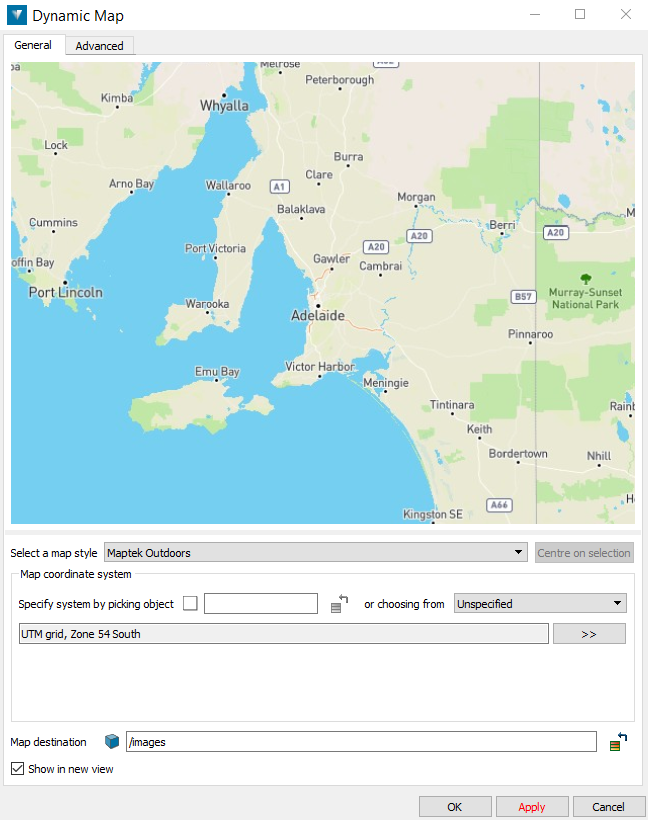
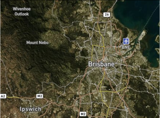
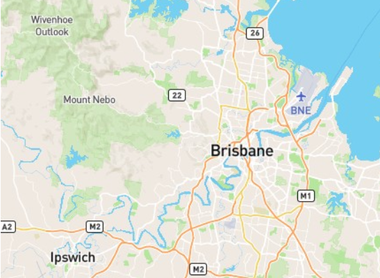
If the view on the Dynamic Image panel is zoomed in as shown, then the resulting image will be over a smaller extent, but which contains the area in the panel preview. Note that as the embedded view is zoomed in, the Map coordinate system on the panel automatically changes from a system appropriate for viewing world images (Pseudo-Mercator) to a UTM system more appropriate for viewing data at a city scale.
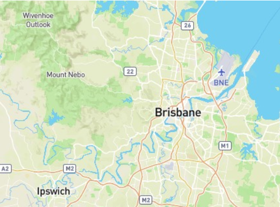
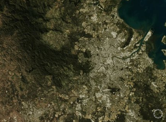
Select a map style— There are four different map styles which can be selected.
| Map Style | Image |
| Maptek Outdoors |
|
| Maptek Satellite |
|
| Maptek Satellite Streets |
|
| Maptek Streets |
|
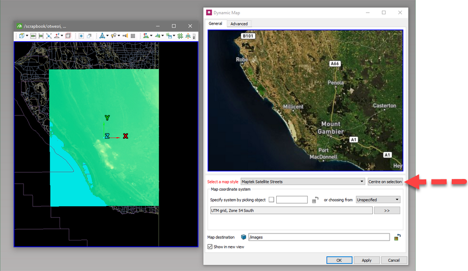
The Centre on selection button will become active when the active selection contains objects which have a common coordinate system. Pressing this will zoom the preview image so that it covers the same extents as the selected data. For example, selecting the DTED terrain data in the left view below, and pressing Centre on selection, changes the preview image as shown. Note that it will also set the Map coordinate system to match the selection. Therefore the dynamic image will be in the same coordinate system as the selected data.
The Map coordinate system is used to define the coordinate system of the created image. See Coordinate>Define for more information on setting the coordinate system. Note that not all systems are appropriate for the image extent chosen. For example, it would not be practical to use a UTM coordinate system on a world image.
Map destination specifies where the created image will be located. By default it will be named /images/<Map style> <Date> <Time>.
Checking Show in new view will display the created image in a new view.