Step 4: Generate a Model
After defining your geological domains, you are now ready to create a geological model. Create a DomainMCF job to generate a block model using cloud-based machine learning. Alternatively, use Vulcan GeologyCore to create a traditional vein or implicit model.
Modelling Manager
The Modelling Manager is designed to create a structured and automated framework for building an entire geological model and defining how all the different units interact with each other to form the final triangulation surfaces and solids.
Note: Currently, only vein and intrusive models are supported in the Modelling Manager, but future releases will include all current modelling methods available within Vulcan GeologyCore, along with some new modelling methods not currently available.
See detailed steps on creating a geological model.
Generating vein or implicit models
Vein and implicit models both generate solids representing some geological attribute such as lithology or grade.
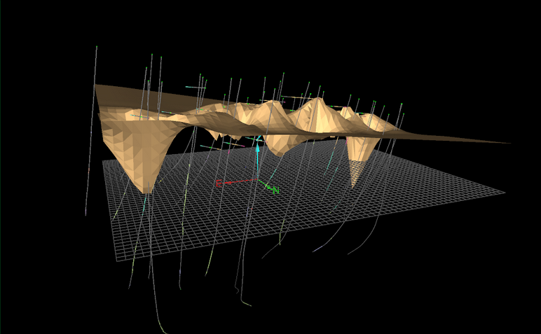
Vein modelling uses a best-fit planar approach to model a continuous domain from drillhole data. It generates a continuous solid or set of surfaces representing the vein or stratigraphic horizon.

See detailed steps on vein modelling.
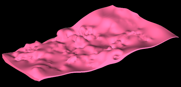
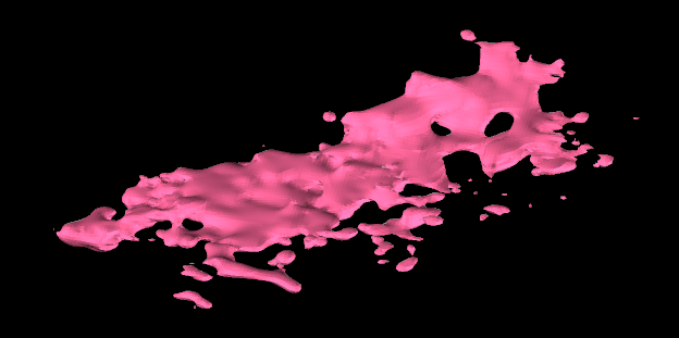
Implicit modelling uses a continuous volume function to interpolate values. The model can be constrained using interpretive data, and can take anisotropy into account. It tends to generate characteristically “blobby” models exhibiting more local control than a vein model.

The tools to create vein and implicit models are all located on the Modelling ribbon tab.
See detailed steps on implicit modelling.
Generating a block model with DomainMCF
Maptek DomainMCF is a cloud-based solution that uses machine learning techniques to generate resource models quickly, even on large datasets. DomainMCF can handle complex geology, and may be suitable for dealing with datasets exhibiting faulting, folding or multiple intrusions.

The tools for working with DomainMCF are all located on the DomainMCF ribbon tab.

See detailed steps on DomainMCF modelling.
Generating stratigraphic models
Stratigraphic modelling uses drillholes to create a set of stratigraphic grids. Grids are two-dimensional surfaces which can be created from any data containing points. Grid meshes are useful, especially when irregularly spaced and/or sparse data sets occur. They have a distinct advantage that they can be calculated very quickly, and store multiple attributes allowing data trends and residuals to be coloured and viewed easily.

The tools for working with Stratigraphic Model are all located on the Stratigraphic ribbon tab.

See detailed steps on stratigraphic modelling.
|
Create a Geology Model
|