PointStudio Help
Using Maptek PointStudio, you can
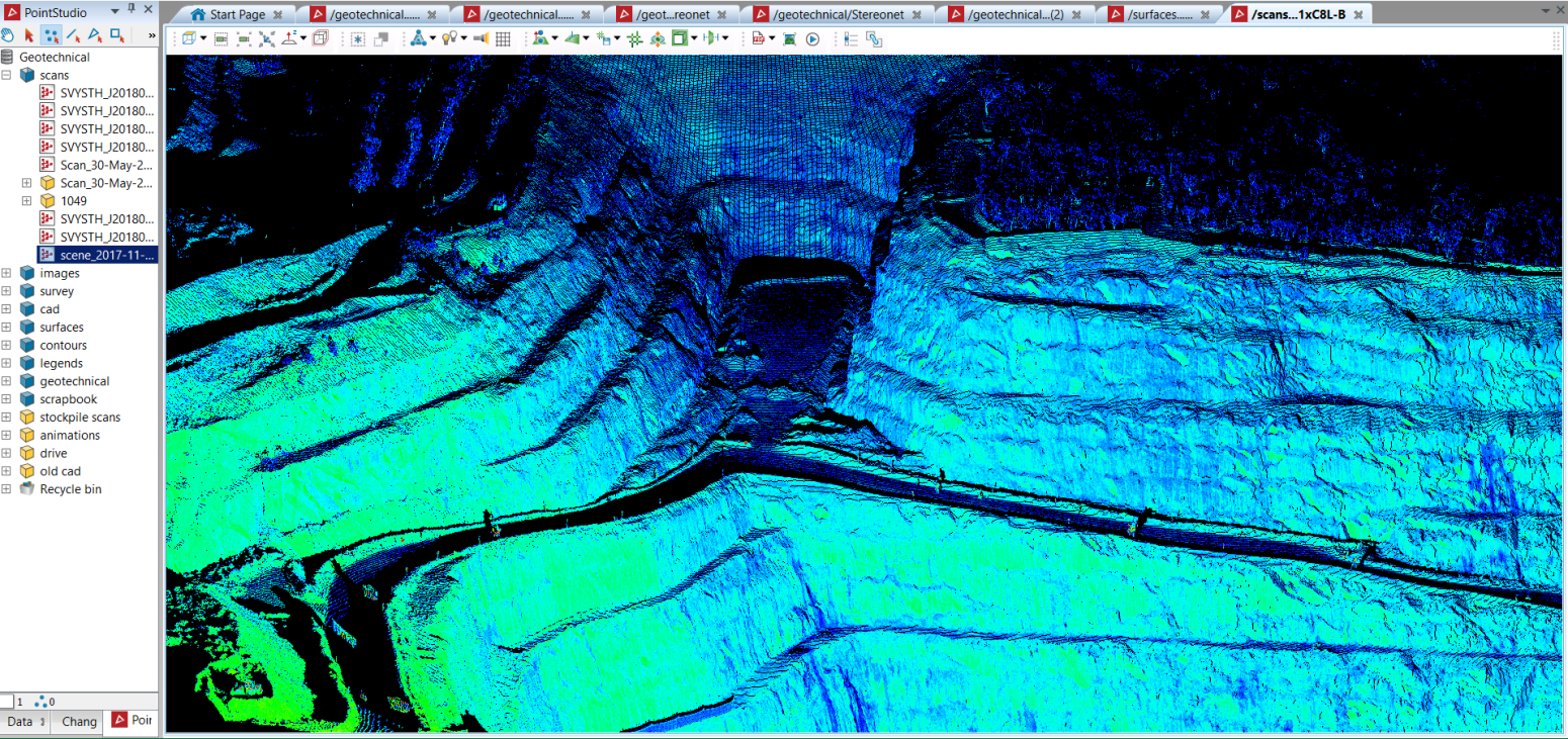
process point cloud data, analyse 3D spatial data sets,
PointStudio allows you to generate volumes, contours, building footprints and elevations, surface models, sections, face maps and CAD line work from laser scan data in extreme detail.
Other features include:
- Store and manage large amounts of data in one project.
- Interrogate, model, and manipulate large point data sets on a desktop PC or field laptop.
- Multi-data transfer between projects, databases and networks.
- Export high-resolution screen captures that are not limited by display size.
- Generate photo quality images rendered on the scan surface.
- Import
- Extensive CAD capability.
- Advanced modules for Geotechnical and Geology applications.
- Report wizards
for Design Conformance and Volume assessment.
Click this link to learn more about PointStudio.