Delete points by INS solution
Maptek Drive Function - this function is specifically for data from 'driving scans'
This function allows you to delete data from a Maptek Drive 'driving' scan based on the level of accuracy. Data from a driving scan will be classified according to accuracy levels of good, fair or poor. Good data is coloured according to original photographic colour, or greyscale colours if there is no photographic data available. Data coloured yellow is considered fair accuracy data. Data coloured red is considered poor data.
-
On the Position and Filter ribbon tab navigate to the Drive group and select
 Delete Points by INS Solution.
-
Choose the type of points to delete from:
- Poor points (red): Lowest accuracy data which covers the rest of the data accuracy range. This data may be significantly inaccurate.
- Fair points (yellow): Reasonable accuracy. Data can be used for indicating trends and general locations.
- Poor and fair points (combination of both poor and fair points).
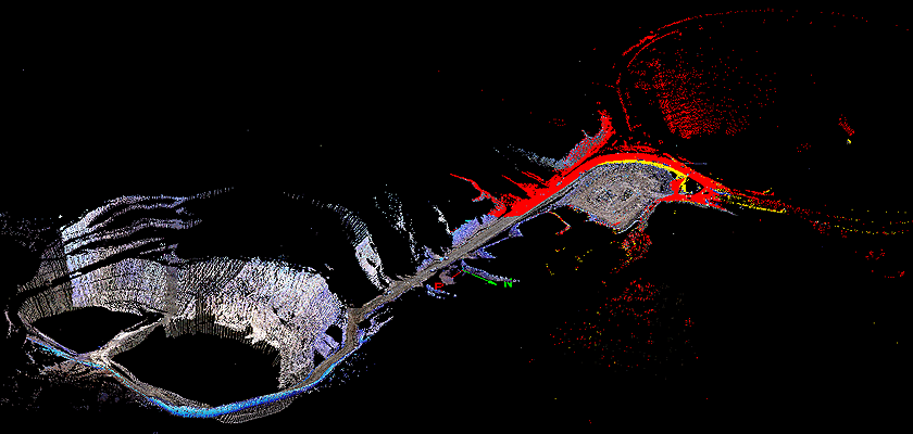
The image below shows good points towards the left where the colour includes greys, browns and whites. The fair (yellow) points and poor (red) points can be seen on the right of the image.

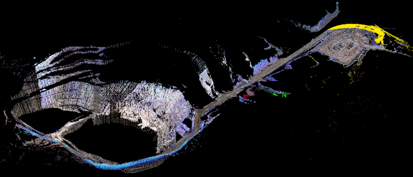
The image
below shows the poor(red)
points deleted to leave the fair
data (yellow) and the good points
(photographic colours).

Note: The points are permanently deleted
and not just filtered out.
Note: In order
to obtain better results, it may be necessary to attempt more scanning
at critical locations where the Drive
data is inadequate. Refer to the Drive
operator manual for instructions and advice regarding scanning
and methods to use in order to optimise accuracy in the field for the
GPS and inertial systems.