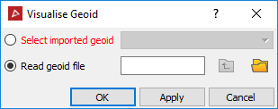
Visualise geoid
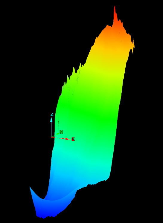
The Visualise geoid tool opens and displays the geoid values as a surface.
-
On the Labs ribbon tab navigate to the Register group and select
 Visualise Geoid.
 -
Choose a geoid that has already been imported, or read data in from a geoid file.
Note: Reads files with extensions .asc, .byn, .ggf, .gtx.