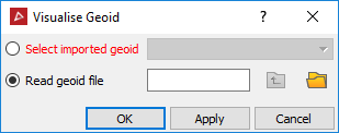
Visualise Geoid
Source file: visualise-geoid.htm
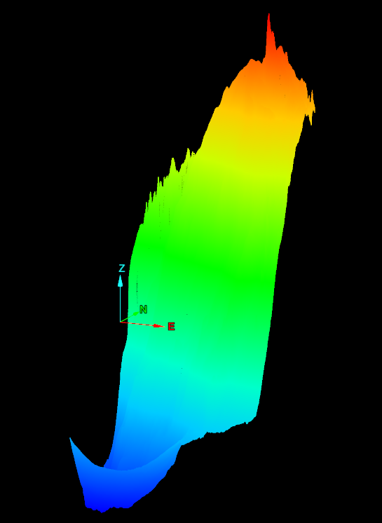
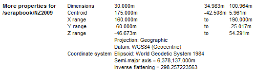
The Visualise geoid tool opens and displays the geoid values as a surface.
Note: For more information on geoids, see Geoids.
-
On the Labs ribbon tab, go to the Register group and select
 Visualise Geoid.
 -
Select a geoid that has already been imported, or read data in from a geoid file.
Note: Geoid files must have one of these extensions: .asc, .byn, .ggf, or .gtx.