List Survey
List survey shots
The List Survey option to display a list of the coordinates in a selected layer. It is normally used to list a downloaded survey.
The list can be printed, and is automatically saved as <layer name>.00_list. This is a useful feature, which to get quickly a file listing of the coordinates of an object. Only the X, Y, Z coordinates and point names are given.
Instructions
- Select Survey menu
- Select Surveying submenu
- Select List Survey option
Select the layer containing the survey shots from the screen. Once selected, you will need to confirm that the correct layer has been chosen.
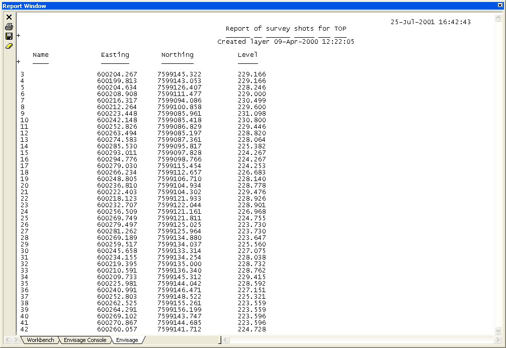
A list of survey shots is then displayed in the Report Window.
Figure 1: Report Window Output