Reference Map
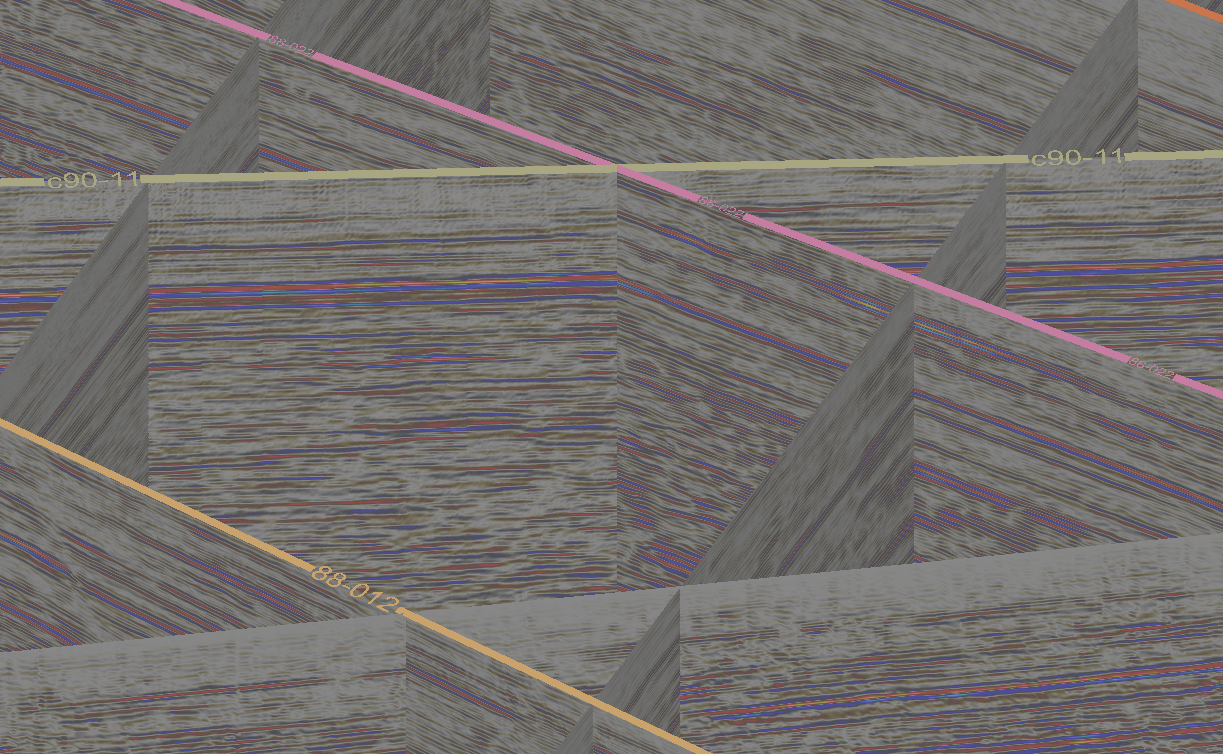
Reference maps are used to map the location of seismic data, without having to display large volumes of data in the View window.
-
Select all the seismic data to be included in the Reference map.
-
Select Seismic > Reference map.
A reference map is created showing the location of the seismic data. The map is stored in the geography container . This map may be projected to a surface if required.
