Scanline
The following table describes the tools in the Scanline section of the Geotechnical tab.
| Tool | Description |
| Query Scanline | Reports on discontinuity with a scanline. |
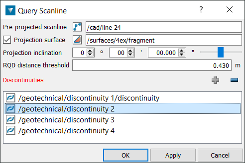
Query Scanline
The aim of the scanline is to map the discontinuities that cross a line on a rock exposure. A line is drawn/painted across the face which usually can be: horizontal, vertical or at an angle. The required parameters are then detailed for each discontinuity crossing the line. This line is imagined as a straight line for input to PointStudio, much like a borehole, despite the fact that an underground rock face is not planar and the painted line follows these irregularities in the face, hence it is not millimetre perfect in practice.