Creating a Smart Polygon
Smart polygon is used to create polygons that track along edges of data just like smart line tool.
Different data causes smart polygon to behave differently. When tracking along triangulations, the line,creating the polygon, tends to track along the intersection of near horizontal and near vertical facets, which is useful when extracting toes and crests. For coloured scan data, the line for smart polygon tracks coloured edges and extracts geological boundaries (if scans are coloured uniformly, this feature is disabled).
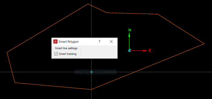
An improved feature of smart polygon now provides a preview of the smart line section before you click and create the polygon section. Simply move the cursor around to see a preview line showing where the smart polygon function would follow.
-
On the Create ribbon tab navigate to the Draw group. From the Polygon drop-down list select
 Smart Polygon.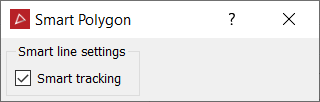
-
On the status bar, select the First point or click on a point in the view window. Continue by clicking on the Next points. Pick points close together to ensure the tracking covers all of the points.


-
Right-click to complete the polygon.
-
Press Esc or click the
 in the status bar to exit the tool.