Extract Annotation
Scan Annotation feature in Scanner Controller software 3.6 and above (Not to be confused with Annotation available with PointStudio) will allow users to annotate directly onto the scan image in the field after data acquisition. The overlaid information is imported into PointStudio with the scan, enhancing interpretation of survey data. This first step in supporting geological field mapping and contextual information for survey will be enhanced by the future release of a registration module on the scanner controller to ensure scans are correctly georeferenced in the field.
This feature for the scanner controller offers underground face mapping capability for SR3 owners who will be able to overlay sketches with annotations on the scan image while in the field. The sketches will be projected onto the 3D surface of the scan. These sketches and annotations can then be imported into PointStudio. This release is aimed at providing a capability for face mapping to support the underground survey notes or surface mapping.
On how to create Annotations refer to the latest revision of XR3 mkII or SR3 mkII Operator Manual.
To extract annotation created with FieldHHC do the following:
-
Import a scan that has annotations.
-
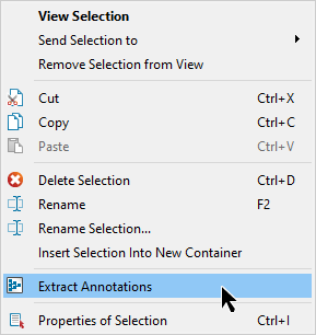
Right click the scan in the project explorer to bring up the context menu.
-
Select
 Extract Annotation.
Alternatively if the scan is in view.
-
Right click a point in the scan to bring up the context menu.
-
Select
Extract Annotation.
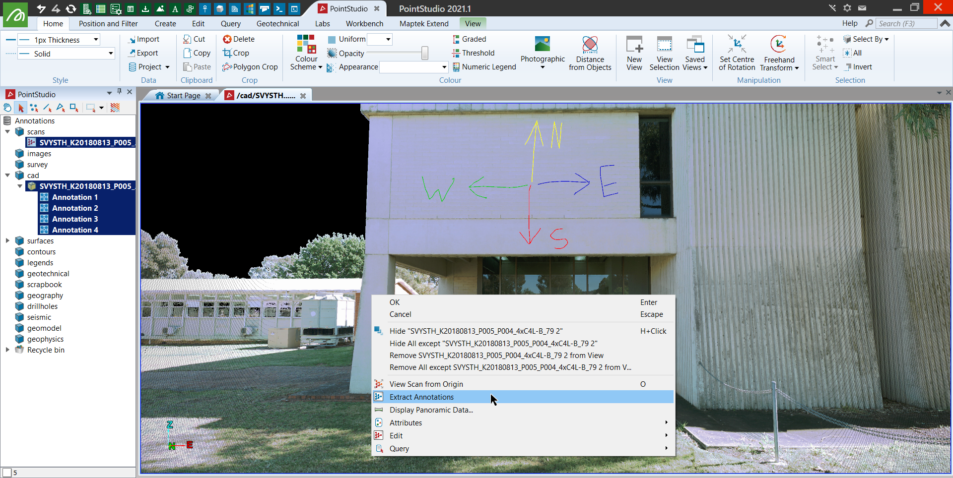
The Annotations will appear in the cad container and highlighted for better visualisation.