PointStudio Help
Source file: overview.htm
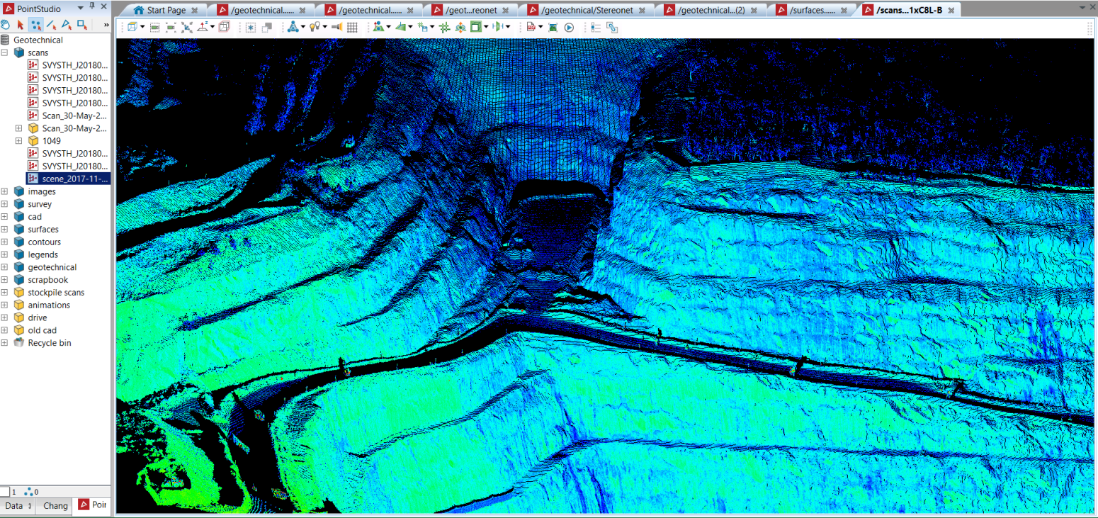
Maptek PointStudio is point cloud processing software for viewing, analysing and manipulating 3D spatial data sets. Applicable data sets include those collected by Maptek and third-party laser scanners. Functions include, but are not limited to, creating surface models, calculating volumes, analysing geometry (angles, distances, areas and volumes), and exporting data for publication in 2D and 3D plans suitable for import to mine design and CAD packages.
Other features include the following:
- Storage and management of large amounts of data in one project.
- Examination, modelling, and manipulation of large point data sets on a desktop PC or field laptop.
- Transfer of data between projects, databases, and networks.
- Application of photographic images to scan surfaces.
- Extensive CAD capability.
- Import and export of multiple CAD data, visualisation, and modelling formats.
- Reporting on design conformance and volume assessment.
- Export of high-resolution screen captures that are not limited by display size.
First-time users are encouraged to read Getting Started to learn the basics of PointStudio. See User Interface for help with navigating and interacting with the user interface. Otherwise, browse topics using the navigation pane on the left, or locate specific help topics via the keyword search field at the top of the page.
