Sentry Office Help
Maptek Sentry is a 3D laser scanning and software system for measuring and monitoring surface changes in mining and civil environments. The Sentry system helps site personnel monitor and report on movements caused by structural instability that have the potential to interrupt activity. Operators can collect scan data and analyse changes over time, across zones of interest. Thus, they can focus on movements in specific areas and build up a collection of background data for identifying concerning trends.

Source file: overview.htm
Sentry software is available in the following versions:
-
Sentry Field
Sentry Field receives scan data in real time, which is used to identify and characterise slope movement in user-defined zones (areas of interest). When instability is detected, the Sentry Field software will send alarms, warning messages, and email notifications to key personnel, according to user-defined thresholds for displacement, velocity, and inverse velocity.
Sentry Field includes Sentry Remote Status, which is installed on a computer networked with the Sentry Field system, typically in a control room. Sentry Remote Status receives and displays notifications and alarms from Sentry Field.
-
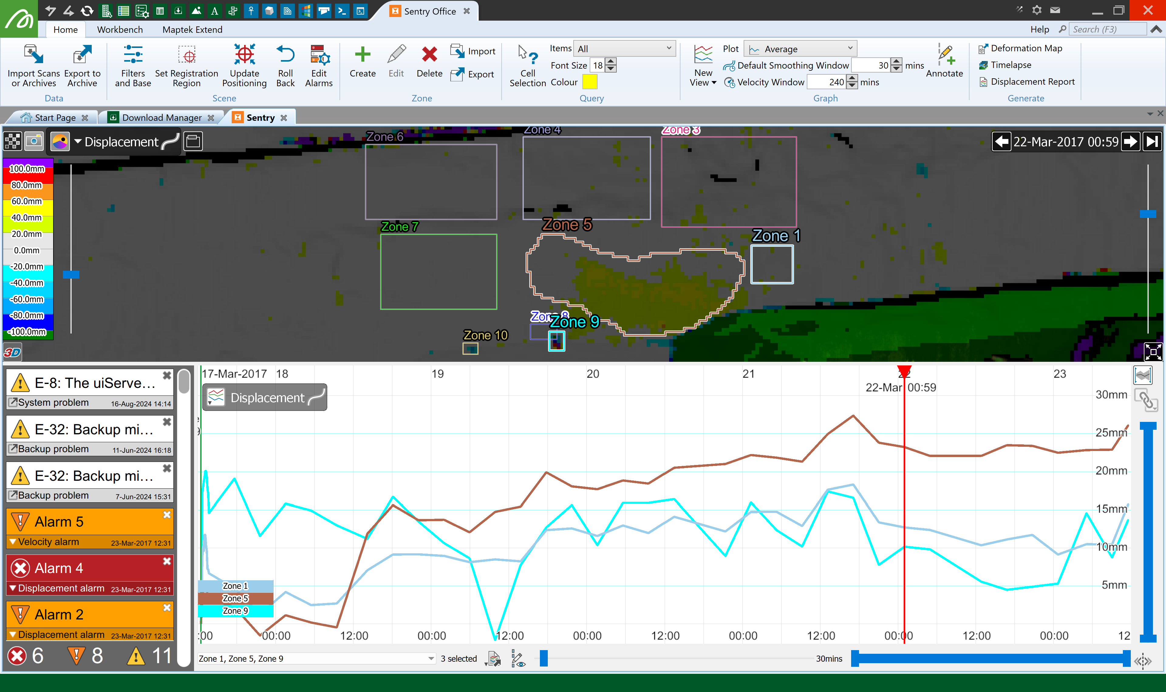
Sentry Office
Sentry Office is for detailed review and analysis of scan data for planning purposes, independent of a laser scanner system. While Sentry Office has many features in common with Sentry Field, it does not include scanner interface capability.
Important: Please read and understand the Important Information pages before continuing with the rest of the help documentation.
