Zonal
Convert Zonal Structure to Standard Variogram Model Structure
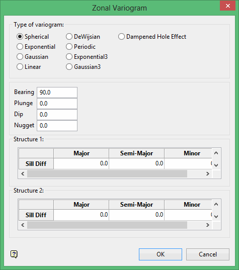
Use the Zonal option to convert a model variogram that has different sills in different directions (zonal structure) to the standard variogram model structure.
In a geological situation where the variography is searching across alternating stratigraphy of shale 1, sandstone 1, shale 2, sandstone 2, shale 3, sandstone 3, etc. where the shales are high grade and the sandstones are low grade, the resulting variograms may contain changing sill values in different directions. This option adds the different sills together to allow the use of the one variogram model with up to two structures. The results are saved in a nominated .vrg file. The Edit option can be used to view the results.
Instructions
On the Block menu, point to Variography, and then click Zonal to display the Zonal Variogram panel.
Type of variogram

