Composite Mapfile
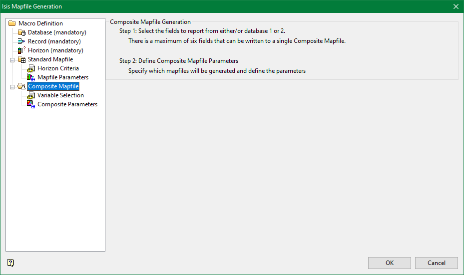
This section allows you to create a mapfile for each horizon, which contains one composited assay value for each drillhole. Compositing takes multiple analytical values for a horizon and averages them using a weighting technique to produce a single value for that horizon. For each hole, one composite record, consisting of the drillhole name, easting, northing, elevation, intersection id, roof elevation of the composite, floor elevation of the composite, and composite values, is produced.

