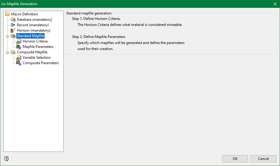
Standard Mapfile
Typically, models of structure roofs (SR) and floors (SF) cannot be created from the types of raw data contained in the drilling database. The raw data must be converted into values that are related to a datum, usually sea level. Standard Mapfile generation calculates these values and writes the output to structural mapfiles.
The ASCII mapfile contains data derived directly from the drilling database, such as the X-Y coordinates, collar elevation, and depth to the roof and floor values. Additional values are calculated, and include overburden thickness to collar (OB), midburden thickness to the horizon directly above (MD), structural thickness ( ST=roof-floor), thickness of the mineable material (TK), and the thickness of all waste contained in the horizon (PT). A standard mapfile must exist for each horizon that will be modelled.

