GeoSpatial Manager Help
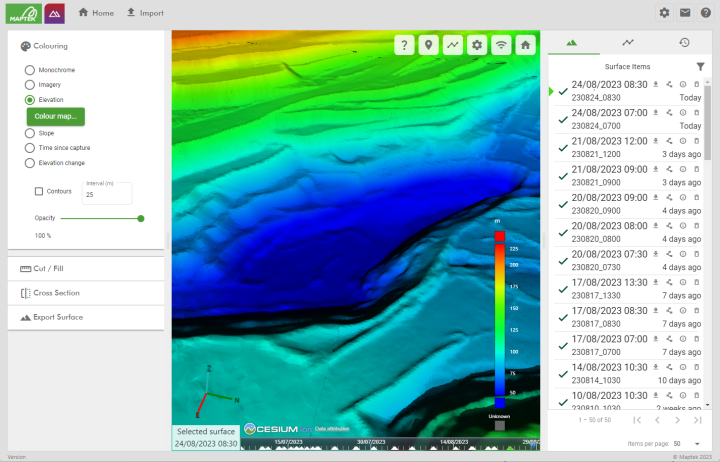
Maptek GeoSpatial Manager is a spatial data management solution that tracks how the physical shape of any project or operation changes over time. Surfaces supplied by surveyors are amalgamated into a single view of the whole operation across its entire history. GeoSpatial Manager acts as the central repository for potentially large numbers of source files, providing the single source of truth for multiple users to view and query in an easy-to-use, web-based interface.

First-time users are encouraged to read Quick Start to learn the basics of GeoSpatial Manager. See Getting Started for help with logging in and initial instance configuration and setup. Otherwise, browse topics using the navigation pane on the left or use the search field located at the top of the page to locate help topics using keyword search.
