Create menu
Click on the image below to display more information.
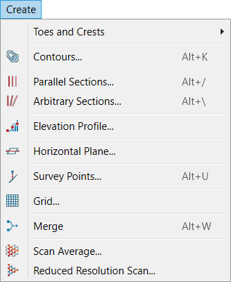
- Toes and crests: More
- Contours: Creates contours on surfaces (triangulations). More
- Parallel sections: Creates parallel sections to enable comparison of surfaces. More
- The Elevation profile unwraps a curved line so that all its points lie in a single vertical plane. More
- Arbitrary sections: Creates arbitrary sections to enable comparison of surfaces. More
- Horizontal plane: Creates a known position for adding data such as lines and circles. More
- Survey points: Creates labels to identify features. More
- Grid: Used to generate points in a grid pattern fitted to a surface. More
- Merge: The Merge tool allows merging of multiple objects into a single object. More
- Scan average: Scans can be averaged to improve the measured distance accuracy of the scan or to remove foreground objects. More
- Reduced resolution scan: Reduces the resolution and file size of scan data. More