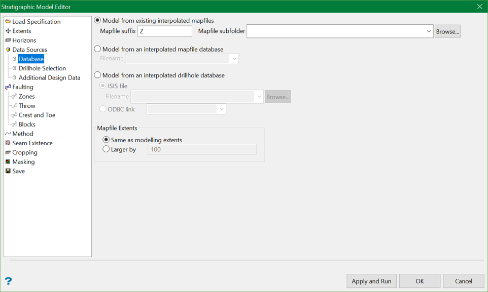
Database

The triangulations and grids can be generated through either using mapfiles, a mapfile database or a drillhole database.
Note: A message displays if the chosen mapfiles or database are not interpolated.
Mapfile Extents
The areal extent for the data gathered from the input mapfiles and CAD data are selected by default when a grid modelling range is selected. However, this option enables users to gather data from a wider area for use in calculating a model whilst still limiting the model's extent.
Same as modelling extents
Selecting this option enables user to limit the model's extents by the default value from mapfile.
Larger by
With this option, the model's limit is extended by a value (that is entered here) larger than the default value.
Related topics
-
Data Source(s)
-
Faulting

