Interpolate Drillhole Data (FixDHD)
Use the Interpolate Drillhole Data ( FixDHD) option to interpolate missing stratigraphic horizons in drillhole data to improve stratigraphic modelling.
Background
Typically, data for modelling is collected in the form of drillholes in which the positions of horizons of interest are logged. Rarely, however, is it possible to identify all horizons in every hole. This may be due to the geological nature of the deposit being drilled, biases introduced by the planning of the drilling program or by poor logging practice or lost data.
As such, extracting ‘raw’ mapfiles directly from drillhole databases, without any interpolation, will usually leave you with ‘gaps’ in the data and any stratigraphic models created directly from these mapfiles will most likely not accurately represent the true structure of the deposit.
How FixDHD Helps
FixDHD ‘recognises’ that most drillhole data sets contain a number of problems and provides a range of interpolation options to best address these. Some typical data problems and how FixDHD addresses these are outlined in the following sections.
Most drillhole data sets contain a number of problems. Some inherit in the nature of the deposit being drilled, some introduced by the methods of the drilling program and some by poor logging practice or lost data.
These problems come in two main categories:
- Data that was not collected by the drilling program.
- Data that was not available because of pre- and post-depositional geological processes.
The problems that can be caused by the first of these categories are:
- Short holes which are not deep enough to include all horizons of interest.
- Problems determining the position of missing horizons that have thinned to zero thickness.
- Problems determining the position of the boundary of daughter horizons in their merged parent horizon.
- Lost core, lost data or poor logging.
The problems that can be caused by the second category are:
- Removal of horizons from the top of the sequence by erosion.
- Weathering of horizons blurring upper boundaries.
- Sub-cropping of horizons against other geological features.
- Washout by erosion processes at the time of deposition.
In addition to this, the drillholes may not be vertical, which compromises the modelling requirement that we know the vertical thicknesses and position at a given location.
FixDHD will attempt to fill in these gaps using statistical modelling techniques to determine the missing or unavailable data from the known data, and to manipulate the available data to meet the required criteria for modelling. Where there is insufficient data for the statistical techniques to be employed, less rigorous stacking methodologies are employed. Full details of which are supplied to a process log for auditing purposes.
A major advantage of the FixDHD process over previous interpolation tools is that it works directly from the drillhole database (rather than from pre-extracted mapfiles) and in this way has more information available to it to intelligently position boundaries.
For example, a horizon may be represented in a mapfile as having a parting thickness. However, there is no way of knowing if that parting is a single gap in the logged data or many gaps cumulated. Also, there is no positional information available for where the parting occurs. This data is available in the drillhole and can be very important in both determining where a boundary between splits is placed and to which split the parting values might apply.
The resulting mapfiles are therefore based on both empirical and theoretical data. With the following data items interpolated:
- The vertical position of zero-thickness (missing) horizons in the sequence.
- Where horizons have been eliminated by erosion they are restored above the drillhole top (or above a ‘depth of uncertainty’ in the hole).
- Where horizons have not been determined because of short drilling they are interpolated below the bottom of the hole.
- Where merged horizons are identified they are re-defined as the lowest level of split required.
Prerequisites
- A drillhole database. The drillhole database can be any database defined in Isis as a drillhole database.
- Correct lithological synonyms set for the drillhole database.
- A horizon table defining the list of horizons of interest and their splitting arrangement. This does not need to be the full list of horizons logged in the database but can be a sub-set of interest.
The horizon file can be defined a number of ways:
It can be a standard GDC Globals file (having the suffix .gdc_glob and usually called <proj>.gdc_glob) from which the Splits Table will be extracted as the horizon table.
It can be an ordinary text file containing a horizon list of the following format:
BR AR REUU REU RE REM REU RE REL RE AY YE BL ORU ORA ORM ORA ORL ORA PLAT
Each line defines a horizon to be modelled, the first field being the horizon name. Any subsequent fields on the same line defining the splitting regime (in the same way as for the Splits Table of a Globals file). The lines must be in descending stratigraphic sequence, and the splitting may be separated with spaces, commas (in fact any white space character that doesn't terminate the line).
Summary
FixDHD is a powerful tool to assist the geologist in making the best possible model of their deposit. It is recommended that initial runs of the module be made keeping to the default settings as much as possible.
By then utilizing the option to create grids directly from the outcomes of a FixDHD run and by monitoring the feedback provided by the program a series of iterations and experimentations should be undertaken to further refine the models.
FixDHD used in conjunction with the new ‘Create Drilling Section’ options allows the user to quickly review predefined cross sections and use the results to create the best possible stratigraphic models prior to later compositing and reserving.
Instructions
On the Grid Calc menu, point to Integrated Stratigraphic Modelling, then click Interpolate Drillhole Data (FixDHD).
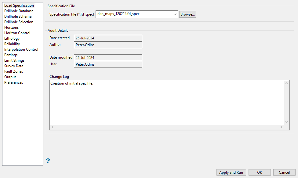
Add audit details to the specification file into the Change Log space provided.
Related topics
- Overview
- Drillhole Database
- Drillhole Scheme
- Drillhole Selection
- Horizons
- Horizon Control
- Lithology
- Reliability
- Interpolation Control
- Partings
- Limit Strings
- Survey Data
- Fault Zones
- Output
- Preferences

