Scanline
The following table describes the tools in the Scanline section of the Geotechnical tab.
| Tool | Description |
| Query Scanline | Reports on discontinuity with a scanline. |
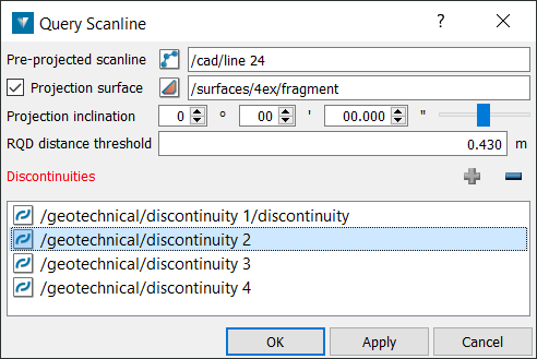
Query Scanline
The aim of the scanline is to map the discontinuities that cross a line on a rock exposure. A line is drawn/painted across the face which usually can be: horizontal, vertical or at an angle. The required parameters are then detailed for each discontinuity crossing the line. This line is imagined as a straight line for input to PointStudio, much like a borehole, despite the fact that an underground rock face is not planar and the painted line follows these irregularities in the face, hence it is not millimetre perfect in practice.
Was this page helpful?
