Data Input Processes
- Data Input Processes
- Spatial Data (X,Y,Z,W)
- Analytical data
- Other Kinds of Data
Data Input Processes
Before data can be input, it must be captured. In Brazil, this presents a major logistical problem, in terms of exact positioning and access.
Vulcan has the necessary tools to accomplish these tasks in a fast and effective manner. Vulcan is GPS ready, including the ability to define satellite time windows for data capture and design of access roads in remote areas. In addition the new Image Processing Module allows topographical features to be calculated from stereo pairs, without the surveyor visiting the area. Vulcan also supports a fully integrated Survey Module, which facilitates the down loading of total station data directly into Vulcan, making data available as fast as possible. Time is Money!
Data used in ore estimation processes are essentially of two types:
- Graphical/Spatial (XYZW) data which defines the aerial and 3D extent of various interest areas (for example, farm boundary polygons, a geological outcrop or a geological section.
- Analytical data types which define various qualities associated with the spatial data, for example, grades analyses, economic variables and various hybrids of each. These are often maintained in text format and covered to graphical objects when so required.
Vulcan has all of the facilities not only to input the data, but also to maintain the data, perform database transformations, as well as the ability to perform complex database queries.
Spatial Data (X,Y,Z,W)
As mentioned above, spatial data defines the aerial and 3D extent of various areas polygons.
- Data import facilities. Vulcan allows for user definable (and uniquely storable) ASCII imports, including numerous contents on the behaviour and grouping of graphical objects. DXF import allows for the import of DXF files (typically for AutoCAD) and includes facilities for colour and text conversion, various data transformation options.
- Vulcan also boasts a comprehensive data transfer tool allowing data to be imported from other sources such as Micromine, Datamine and Surpac, with the minimum of effort. It is important to note that these tools not only cover raw data but also existing databases such as block models and triangulations.
- Apart from text style and transfer imports, an important source of information is the capturing (digitising) of existing paper plans and maps. Here again a comprehensive set of tools is available.
The software allows the user to digitise in section or plan using standard digitising tablets. Maps can be digitised on local coordinate systems and converted to other user coordinates. It is possible to digitise on Lo coordinate, Mercator coordinates etc. Provision is also made for taking into account the "stretch" of well used plans, using the map control points options. In particular, one of the most commonly used digitising tools is the user defined "feature" tool found in Vulcan. Here the user defines exactly how the data is captured. Among others, the variables one may define include forcing, prompting or accepting current values for layer names and descriptions, colours, fill patterns, object and group names, direction of digitising and - X,Y,Z or W values. Using this option it is possible for less experienced or assistant level staff to capture data according to a "pre-programmed" format. It is not necessary for them to understand the underlying reasoning or methodology, or even have extensive Vulcan training.
- One of the more complex forms of data collection is the collection of mapping in a cylindrical shaft. Vulcan has a shaft mapping tool that allows the user to "unwrap" the shaft on screen, input the new features and wrap the shaft back to its true 3 dimensional position. The added data will also be in its true 3 dimensional shape.
Analytical Data
Typically most companies have historical data captured in ASCII format or other forms of easily accessible formats such as Excel, Access, Lotus etc. These may be in columnar, or comma separated form. Vulcan caters for the importation of this data in the form of user definable databases, as well as relational database imports. At the time of writing the new ODBC interface allowing for direct access to ODBC supported databases (Oracle or Access) is available in Beta format. Once the data has been imported into the Vulcan database, all of the necessary tools exist for manipulating/editing of the data including comprehensive database query tools.
Historical geological borehole logs can be captured in columnar or comma separated format and imported with ease into the Vulcan system. The same applies to geotechnical data where it can subsequently be analysed on stereo nets, rose diagrams etc. One form of historical data capture that frequently raises questions is the capture of chip, channel or face samples. Vulcan 's Sampling and Channel Sampling Modules make this kind of data easy to capture, via user definable data structures, and cater for automatic sample orientation.
Once the borehole data has been captured and the boreholes have been desurveyed they are ready to be used in the geological modelling process. Vulcan also incorporates a user definable set of validation rules, so that the amount of errors introduced can be reduced in the initial data loading pass. Lithological contacts can be saved in layers for modelling, or horizon extents quickly calculated. These can be used later in the modelling process. Preliminary composing can be performed interactively on the screen, as well as performing database queries from the graphics.
The interactive Borehole Graphics facility allows for the generation of fence diagrams and rapid multiple horizon correlations, as well as the ability to link the graphical display back to the database for editing!
Other Kinds of Data
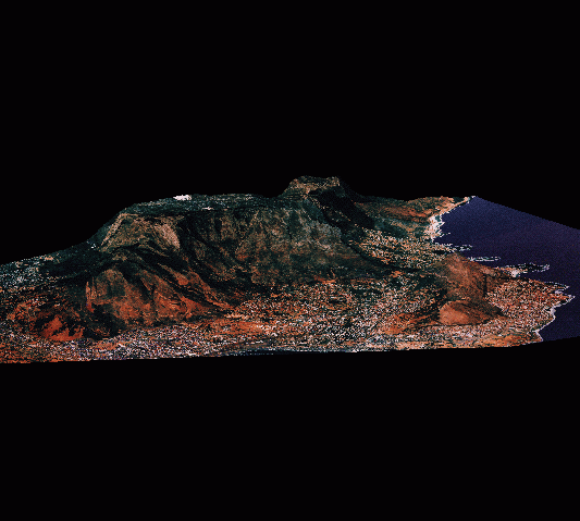
Many other kinds of data are used in exploration and geological delineation, and often these are found in the form of heavy boxes in a dark room. These may include drilling reports, photographs of the area, geological outcrops, photographs of core and even photomicrographs of thin sections, satellite images, aerial photographs and geophysical maps. Vulcan not only allows this kind of data to be used in the modelling process, but also supports links to the various file types. Any particular object may have a host of attributes linked to it and each may be accessed by selecting the object in the graphics and selecting the desired attribute. The types of attributes supported include image files, video files, text files, sound files, database links and macro links.